Short answer: Landing on Volcano Island and walking to the crater is only possible at low alert levels, and Taal has spent long stretches at Alert Level 2 or above, which closes it. The Tagaytay ridge viewpoints stay open regardless. Taal Lake sits inside a protected landscape, so boat operators work under permits that can be suspended overnight.
Trip.comHotels in Philippines
Compare live prices via Travelpayouts — targeted for this guide.
Search on Trip.comFor day trippers from Manila deciding whether to build a plan around setting foot on the volcano. Access rules and the alert-level framework last checked 30 July 2026. The alert level changes without notice - confirm on the PHIVOLCS bulletin the morning you travel, not the week you book.
| Alert level | Volcano Island landing | Boat tours on the lake | Tagaytay ridge viewpoints |
|---|
| 0-1 | Usually permitted | Operating | Open |
| 2 | Typically closed | Restricted or suspended | Open |
| 3 | Closed | Suspended | Open, ashfall possible |
| 4-5 | Closed, evacuations | Suspended | Evacuation zones may extend |
Taal is small, close to Manila, and permanently monitored
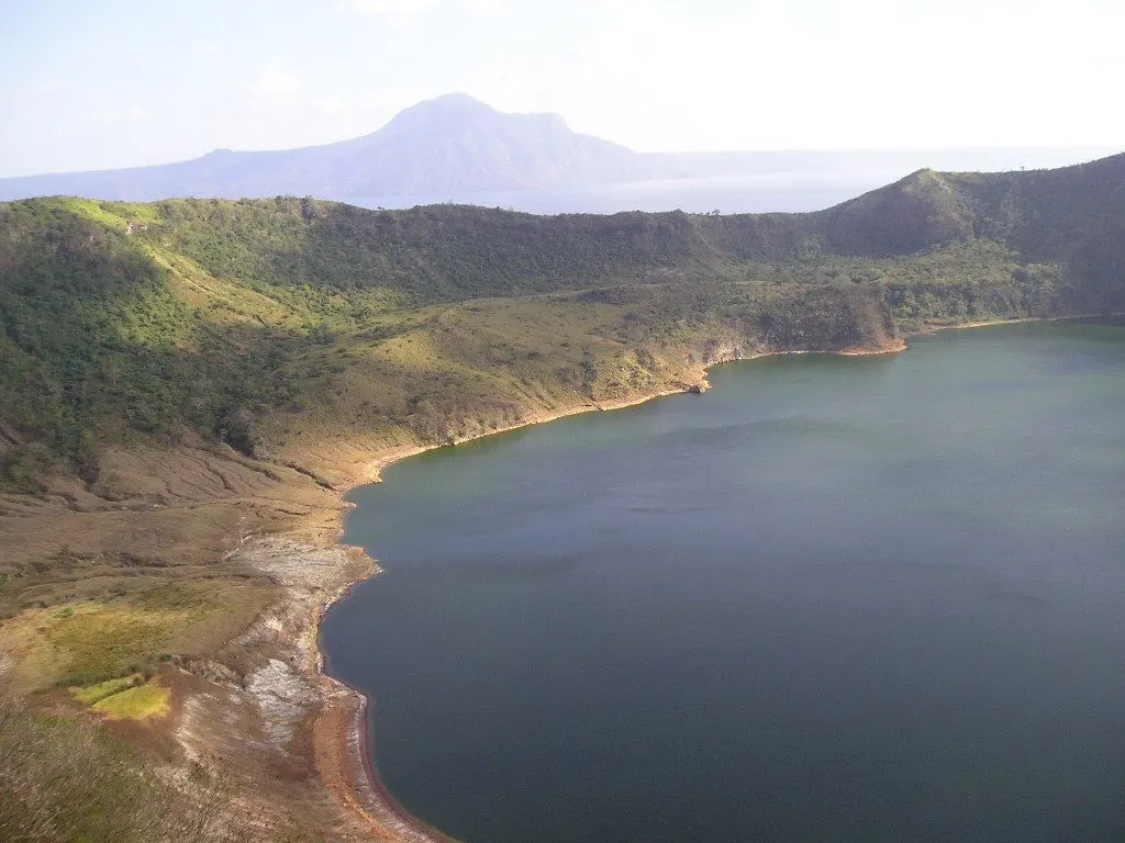
Taal is one of the most closely watched volcanoes in the Philippines, and its proximity to the capital is the reason. A crater lake inside a volcano inside a lake, about two hours from Manila, sitting beside a dense population - that combination is why PHIVOLCS publishes a bulletin on it daily.
The 2020 eruption reset how the site is managed. It ejected ash across Luzon, closed Manila's airport, and displaced communities on and around the lake. Since then the posture has been more cautious and the alert level has spent extended periods elevated.
For a visitor the operative fact is that Taal is not a fixed attraction with fixed opening hours. It is a monitored hazard with access that follows the science, and any itinerary that treats a crater walk as bookable is making an assumption.
The alert level is the gate, and Level 2 is usually enough to close it
Under the PHIVOLCS scheme, Alert Level 2 means moderate unrest probably of magmatic origin that could eventually lead to eruption. That is a long way below the eruption levels and it is normally sufficient to stop landings on Volcano Island.
Travellers see a low number and assume access. The number is a hazard assessment, not an access rule, and the local governments around the lake have generally treated Level 2 as incompatible with putting tourists on the island.
Because Taal has held elevated levels for long periods, the realistic default when planning is that the island is shut and any opening is a bonus. Build the day so it works without the crater.
Volcano Island access versus the Tagaytay ridge
The two Taal experiences are genuinely different products. Landing on Volcano Island means a boat across the lake from Talisay and a walk or horse ride up to the crater rim - the close-up version, and the one that closes.
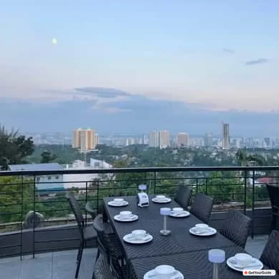
The ridge version is from Tagaytay, looking down across the lake at the volcano from a few hundred metres of elevation. It requires no boat, no permit and no alert level below anything. On a clear morning it is the better photograph, and it is a short drive from Manila.
Tagaytay also carries the rest of the day: the ridge restaurants, Picnic Grove, the People's Park in the Sky. A Taal trip built around the ridge is robust; one built around the crater is a coin flip.
The lake sits inside a protected landscape
Taal Volcano Protected Landscape is a designated protected area, which layers a second set of rules on top of the volcanic ones. Boat operators run under accreditation, the number and behaviour of craft on the lake are regulated, and the DENR has authority over activity within the area.
This matters when an operator offers to take you across during a suspension. The offer is not a legal grey area for you personally, but it is for them - and a boat operating outside its permit is a boat with no insurance and no coastguard clearance.
The lake also has a distinctive ecology, including endemic species, and fishing and aquaculture within it are managed. Treat requests not to interfere with fish pens as regulation rather than local preference.
Ashfall, lake conditions and the weather that closes boats
Two hazards operate independently of the alert level. Ashfall from even minor activity can affect the ridge and the lake basin, and fine volcanic ash is an eye and respiratory irritant - a mask and eye protection are sensible if any activity is reported.
The second is wind. Taal Lake is shallow and generates a short, sharp chop quickly, and boat crossings are suspended on lake conditions rather than on the volcano. A perfectly quiet volcano on a windy afternoon still means no crossing.
Combine the two checks the morning you go: the PHIVOLCS bulletin for the alert level, and the weather for the lake. Either can close the day on its own.
What most guides get wrong about visiting Taal
The most common error is describing the crater walk as the standard Taal day trip, in the present tense, in articles that have not been revisited since before 2020. The horse ride to the rim was the classic experience and it has been unavailable for long stretches since. Any guide describing it without discussing alert levels is describing the past.
The second is the assumption that a low alert number means open. Alert Level 2 sounds mild and routinely closes the island, because the alert level is a hazard rating and access is a local government decision made on top of it.
The third is treating Tagaytay as the consolation prize. The ridge view is the wide, complete image of the volcano-in-a-lake that Taal is famous for; from the crater rim you cannot see the shape you came for. Framing the ridge as a fallback sends people chasing an experience that is often closed, when the better one was never shut.
Frequently asked questions
Can you still climb Taal Volcano?
Only when the alert level is low enough for local governments to permit landings on Volcano Island. Alert Level 2 typically closes it, and Taal has held elevated levels for extended periods since 2020.
Does Alert Level 2 mean Taal is safe to visit?
It means moderate unrest probably of magmatic origin that could eventually lead to eruption. The alert level is a hazard rating, not an access permission - the local government decides on closures.
What can I do if the island is closed?
The Tagaytay ridge viewpoints stay open regardless of alert level and give the wide view of the volcano within Taal Lake. Picnic Grove and People's Park in the Sky fill the rest of the day.
Why would a boat trip be cancelled on a quiet day?
Wind. Taal Lake is shallow and builds a sharp chop quickly, so crossings are suspended on lake conditions independently of the volcano's alert level.
Where do I check Taal's current status?
The PHIVOLCS website, which publishes a Taal bulletin daily with the current alert level. Check it the morning you travel rather than when you book.
Book tours, hotels & stays in Taal Volcano Visiting
Top tours
Top hotels
Top stays